The trail to Laurel Falls in Hampton, TN (not to be confused with Laurel Falls near Gatlinburg, TN) was by far the hardest hike that I’ve done so far. You don’t realize it at the beginning of the trail, because it’s fairly easy, but that last little bit was rough. Seeing what was at the bottom of those rock stairs was worth it though. Especially since the falls were flowing hard and fast because of all of the rain that area had over the few weeks prior.
We started at the Dennis Cove Trailhead (on Dennis Cove Road in Hampton, TN).
Because this trail is part of the Appalachian Trail and the Pond Mountain Wilderness, you could make your hike a longer one if you wanted to, and explore the other trails that connect. You could also start your hike at the Hampton Blueline Trail/Laurel Falls Trail off of Hwy 321, which is a little bit longer of a trail overall.
We wanted the shorter of the two paths to get to the falls, so we started at the Dennis Cove Trailhead. To get to this small dirt parking lot, turn onto Dennis Cove Road from Highway 321. Go almost 4 miles, around a swirly, curvy road, and the parking lot will be on the left.
(A tip: This area is part of the Cherokee National Forest, and is down in a valley, so I would recommend downloading the map ahead of time because you’ll likely lose GPS signal.)
Once you get to the parking lot, the trail starts to the left.
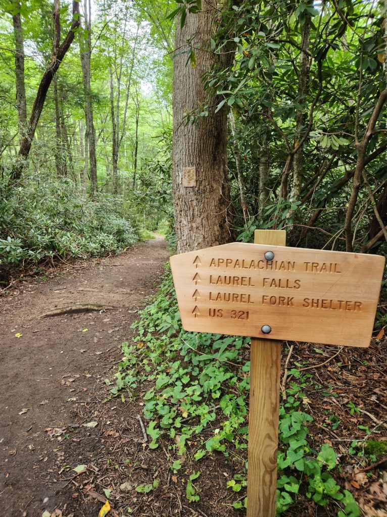
The first part of the trail is actually an old railroad bed for what was the Laurel Fork Railway, so it’s fairly even and easy.
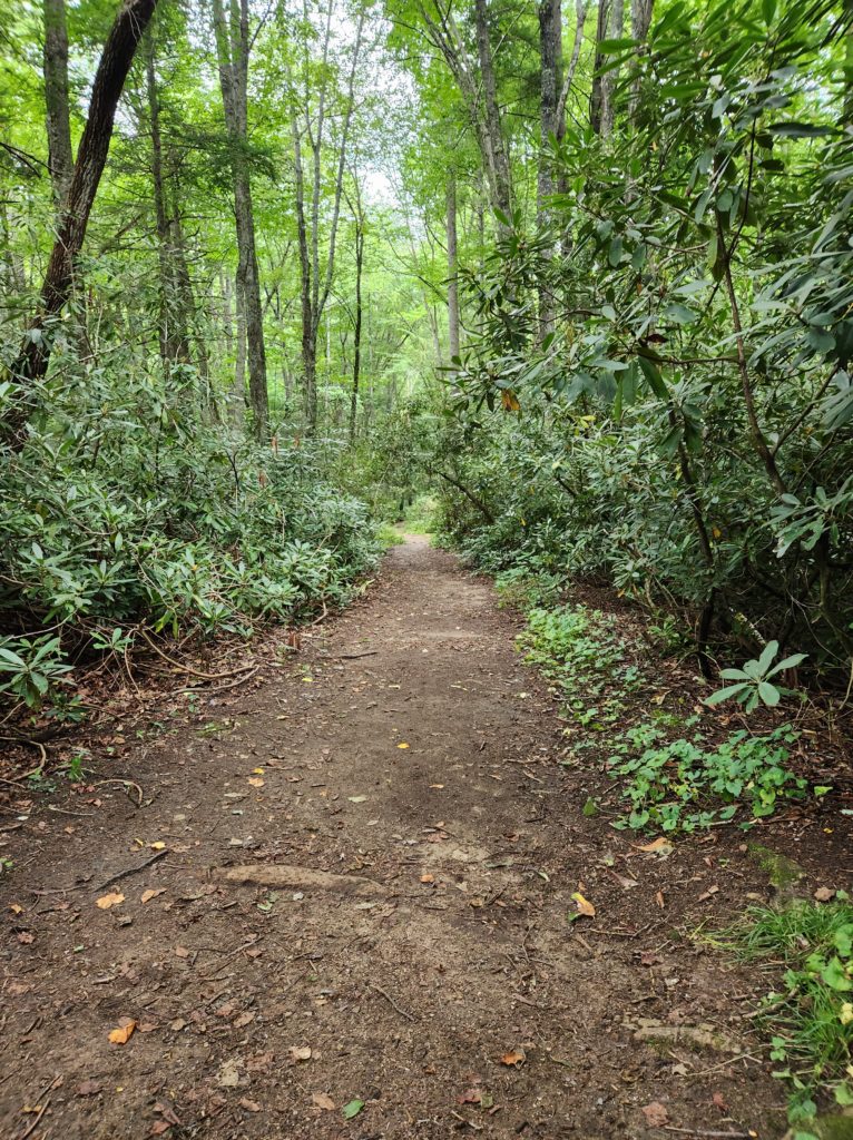
The Laurel Fork Railway was a “small, standard-gauge logging railroad that operated entirely in Carter County, Tennessee from 1912 to 1927.” “Small” here meaning, the whole track system was only 17 miles when it was at its busiest.
In 1924 a flood washed away most of the track. Because of this, and the fact that the railroad wasn’t being used that much, the company filed for abandonment with the Interstate Commerce Commission on November 7th of that same year. The company still did some things in the next few years, but all operations ceased by 1927.
(quoted and paraphrased from Wikipedia)
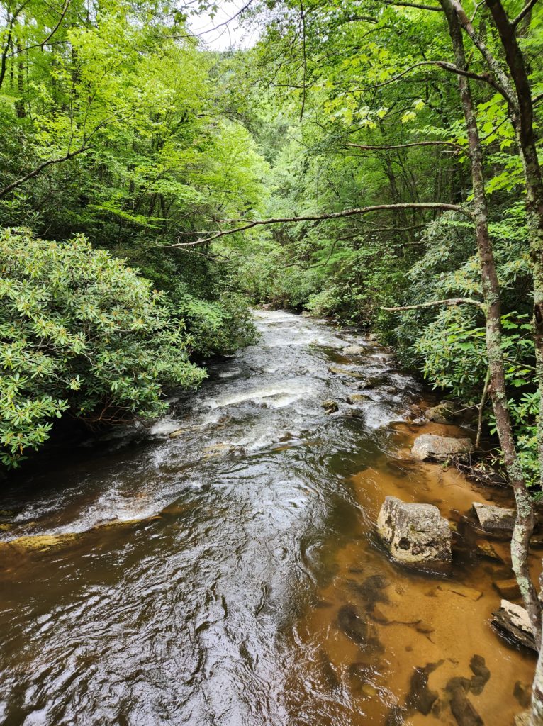
We could hear the river flowing alongside the trail from the moment we crossed over the first small footbridge.
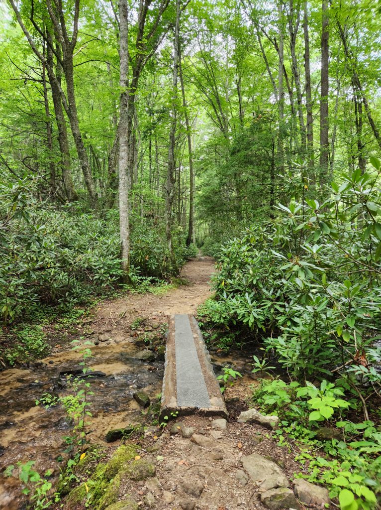
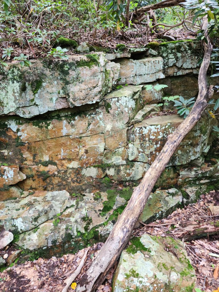
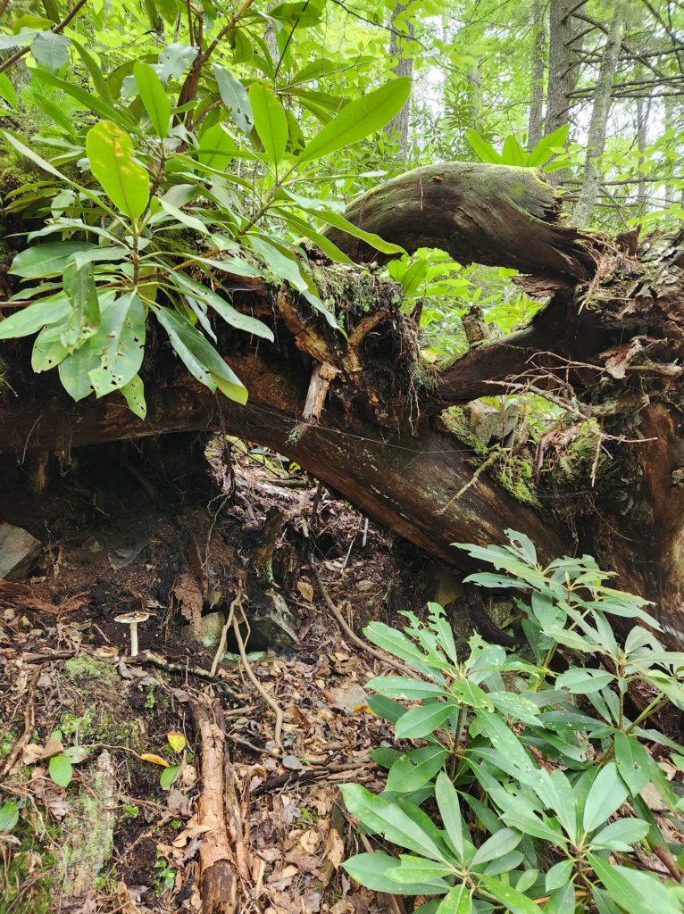
It almost felt like we were walking through a piece of art at times. The colors and textures all around us were stunning.
This trail is surrounded by rhododendrons along the way, so if you happen to go in mid-June, you may get to see some of the beautiful purple-ish blooms as you walk. You could also take a side trip to Roan Mountain State Park while you’re in the area (about 30 minutes away from here), and hike up to Round Bald from Carver’s Gap for some amazing views of Tennessee and North Carolina.
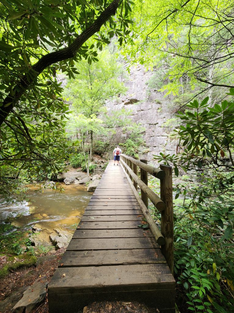
Before too long we got to the larger wooden bridge that leads to the first set of rock steps.
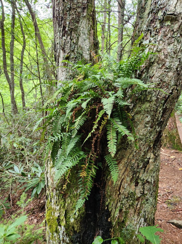
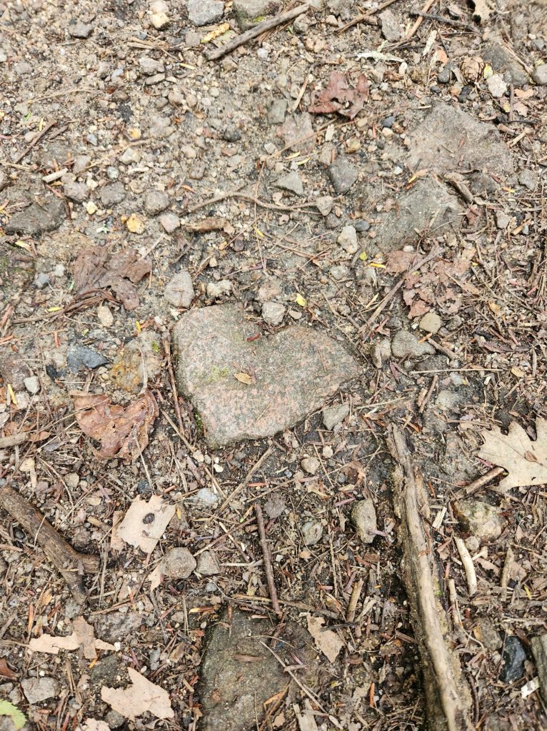
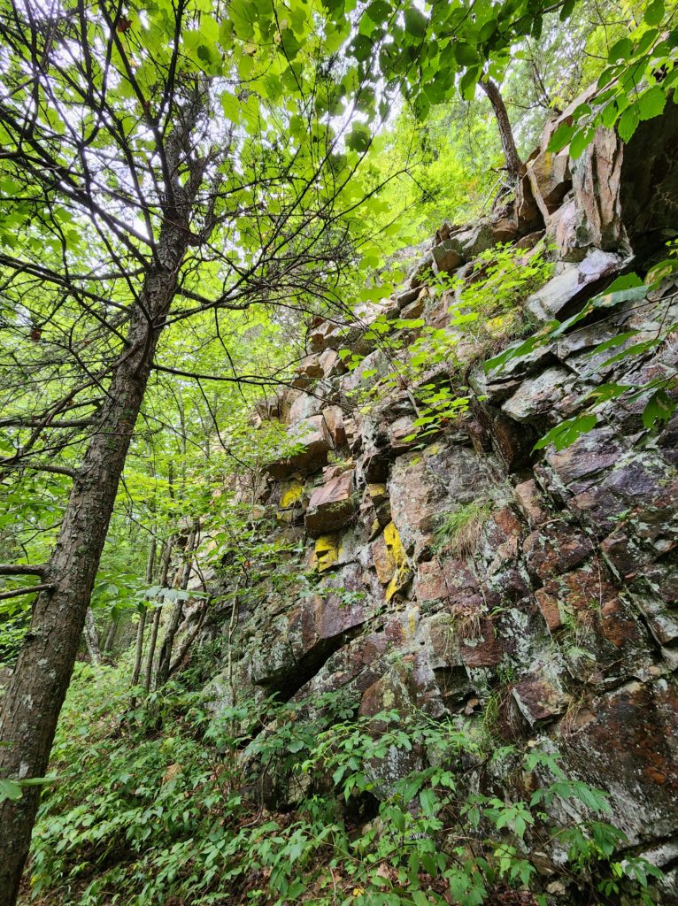
We had to wait for some people to come down the steps (it’s single file only), so of course I took a picture of the mossy doodles while we waited.

And really, up to this point, the hike wasn’t bad. We lost all track of time and just enjoyed walking in the quiet magic of the forest.
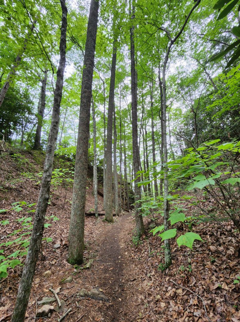
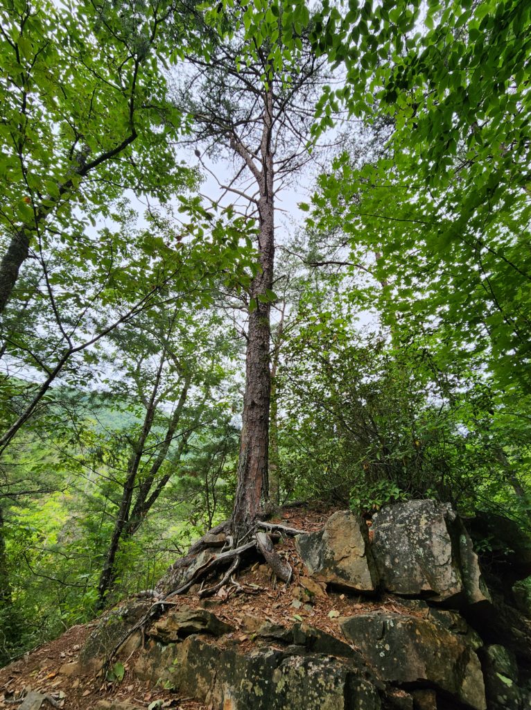
But we soon found out why the Laurel Falls trail is rated as moderate on most sites, and why I rate it as hard.
(For more info about why I rate trails the way I do, check out my “Guide to How I Rate Trails”.)
The trail keeps on going, but Laurel Falls is left, down the hill.
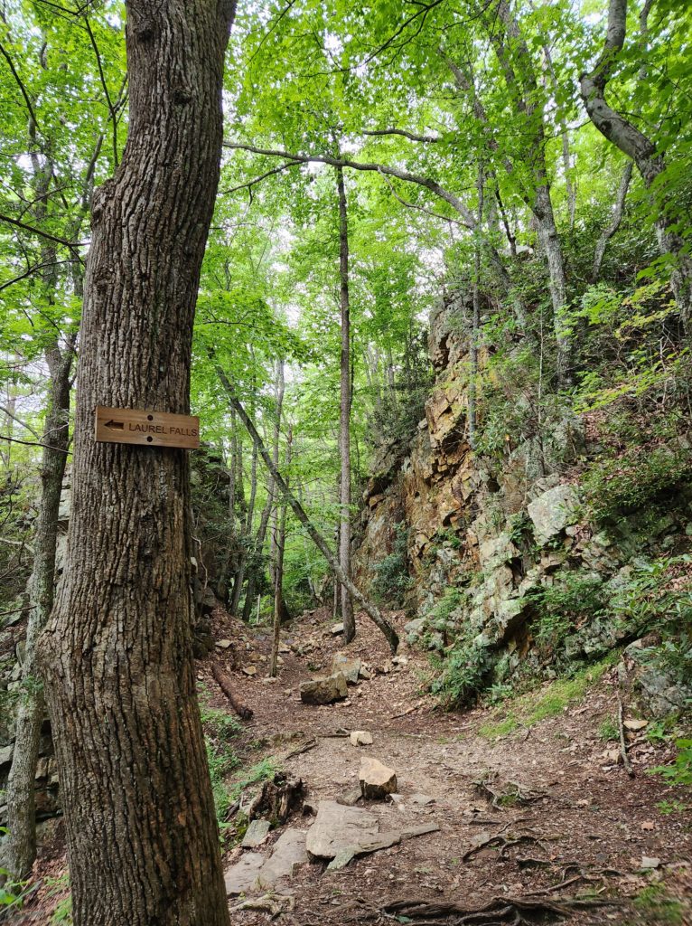
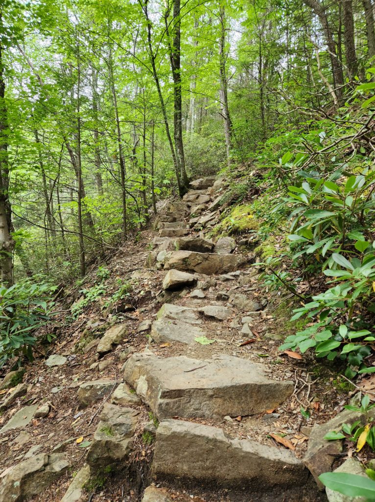
When I say down the hill, what I mean, specifically, is that it’s down the rock and dirt steps that somewhat resemble a path. This is where the hard comes in. According to visit visitjohnsoncitytn.com this section is about .3 miles. But this .3 miles was where I started to question my life choices. Mainly because, as I was going down, I knew that I was going to have to come back up at some point.
There IS a stair step feel to the rocks as you go down. Be extremely careful though. They are not all level, some of them will move slightly, and some of the steps are kind of big (especially if you’re only 5’2 like me).
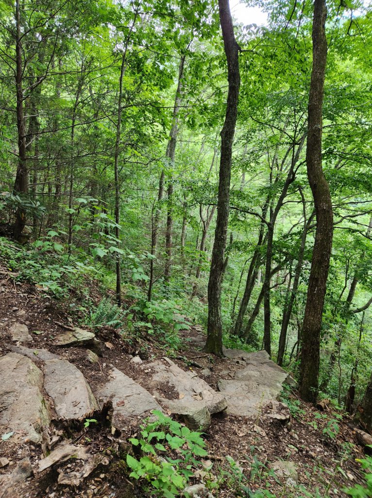
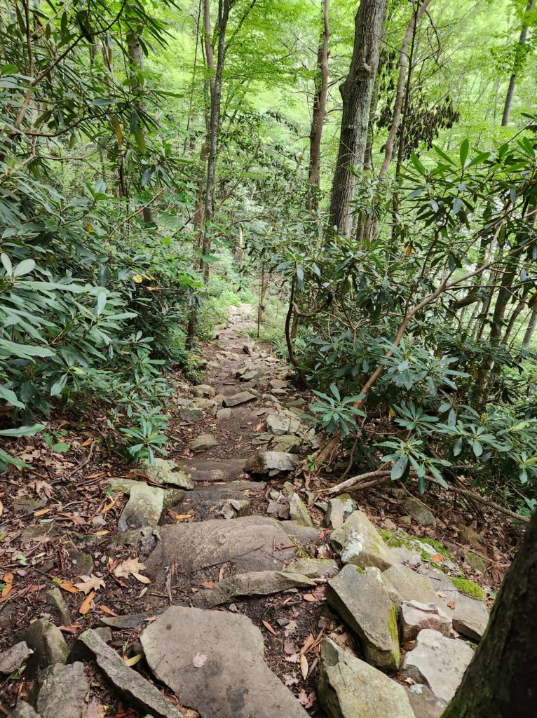
I personally feel more nervous about walking down than I do up. Mainly because I’ve fallen down stairs several times and my body remembers doing so and getting hurt. To be fair, I’ve also fallen going UP the stairs, but I normally don’t hurt myself going in that direction. =)
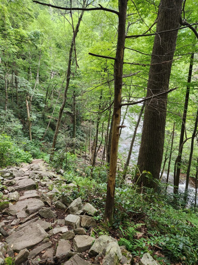
When we got to this point, we could feel the temperature drop several degrees, and it felt amazing. Especially after that jaunt down…down…down.
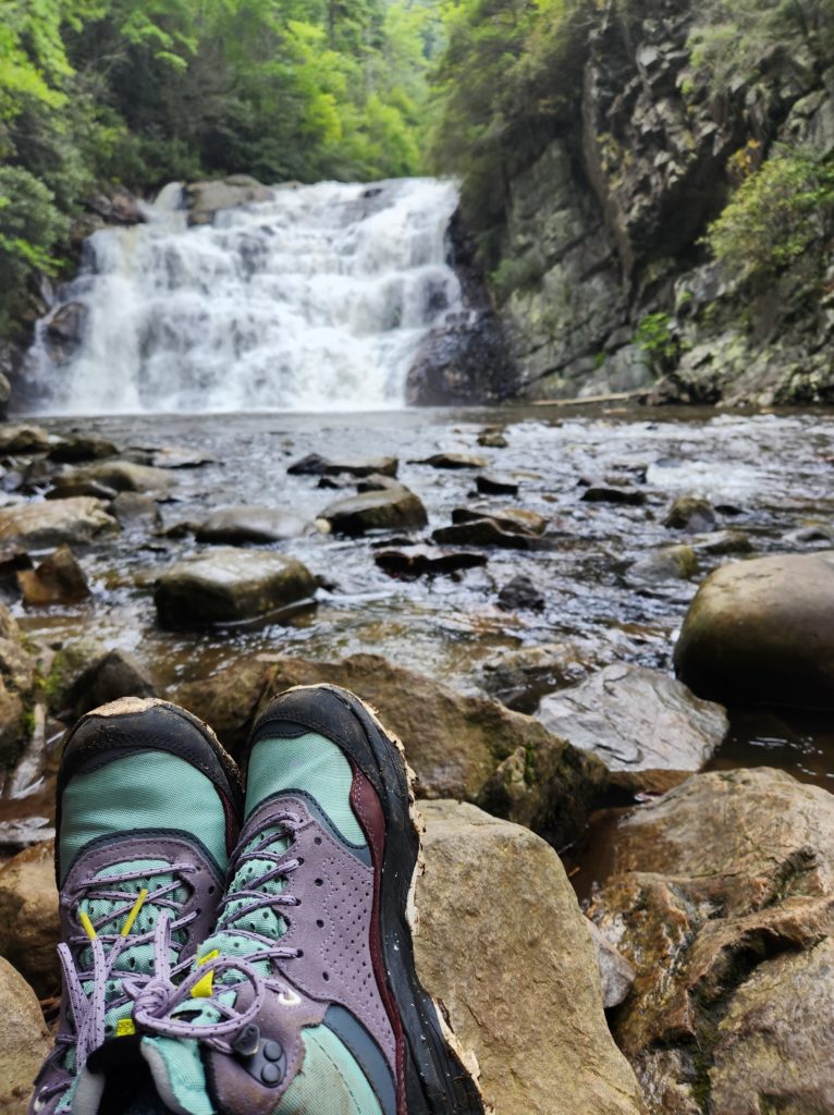
Once you get to the bottom, the magic of Laurel Falls comes into view.
We found a rock to sit on, had a little snack and some water, and enjoyed the peaceful sound of the water.
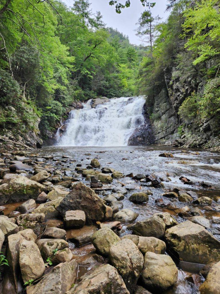
Laurel Falls is 40’ high and 55’ wide, and it was running full force that day.
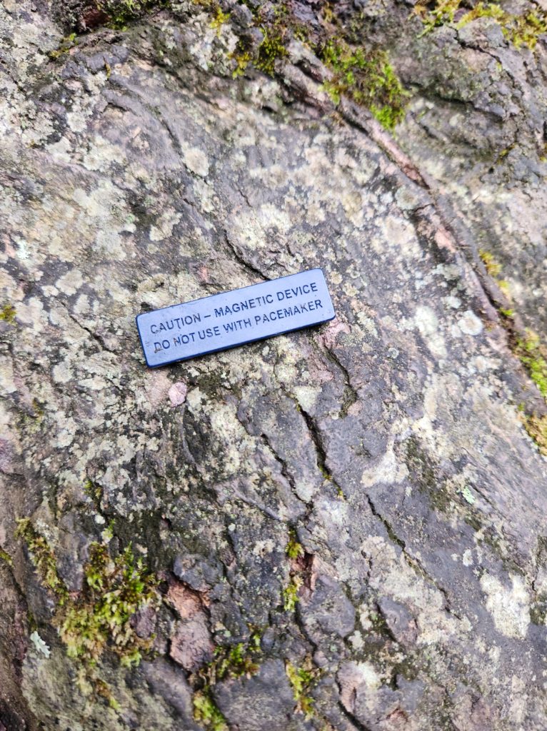
While we were sitting there, I found a magnet on the ground, presumably off of someone’s backpack. We like to collect magnets from the places that we’ve traveled to, so I deemed it our magnet for this trip.
As we were pulling into the parking lot to start our hike, we saw a helicopter flying over. As I stood at the bottom of that rocky path, thinking about what it was going to take to get back up to the top, I briefly wondered if that helicopter would mind coming back by to pick me up.
No such luck though…so up we went.
A quick word of warning:
The U.S. Forest Service website says that this trail is 2.6 miles round trip, but many of the Google reviews say that it’s closer to 4-5 miles round trip. AllTrails says the same thing. We didn’t measure it out, but judging by other trails we’ve done, I would agree that it’s closer to the 5-mile range.
This is not to scare you away from doing this hike, but just to let you know. One of the reasons that I rate trails differently than most people is because everyone’s fitness level is different. What one person considers easy would be very difficult for someone else. I want to do my best to let you know what you’re getting into BEFORE you go, so that you’re better prepared. And if this is a bit over your limit, you can always work up to it as you practice on other trails.
Honestly, if I knew then what I know now, I would have waited on this one. It was an exceedingly beautiful place, but the distance and path down to the falls was over my limit at this point. I won’t say that this completely ruined my overall experience, but I certainly got a “school of hard knocks” lesson in doing my research and being fully prepared along with the beauty.
What made this hike even more challenging on the way back, is the fact that it started storming as we were going up the rocky path.
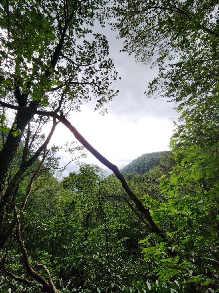
Like, full on torrential downpour with a side of thunder and lightning. Luckily, the thunder and lightning didn’t last too long, and we were able to take shelter under the rocks along the way. The rain however, just kept coming. We were drenched by the time we got back to the car.
Needless to say, I didn’t take any pictures on the way back. I was concentrating even more on not falling down. Enter my Merrell Speed Solo boots for the win on this one. I only slid once this whole hike, and it was right at the beginning…and it was my own fault.
Like I said before, this hike was a big lesson for me in being fully prepared before you go.
It’s hard to reconcile the fact that I’m extremely happy that I got to see this waterfall, especially running like it was, with the fact that I was completely unprepared for what I was getting myself into. But…that’s where I’m at. It wasn’t safe, hiking in a storm and going a lot farther than I am used to, and it could have ended much worse than it did. I don’t say that to be negative, but to be realistic.
We should push ourselves to step outside of our comfort zone from time to time, but also be aware of our current limits. With something like this, working up to it would have been a much better plan. BUT, now that I’m on the other side of it all, I can safely say this: do your homework, research the distances from where you want to start your hike, and triple check the weather, but definitely add Laurel Falls to your “must see” list. Because even with everything that happened, I’m still happy that I got to see it, and I think you’ll enjoy it as well.
