When I go hiking somewhere, especially somewhere that I’ve never been, I often look up the trails online to get information on them. Most of the time, what I really want to know is: how far it is to where I’m going and how hard is the hike to get there. But there have been several times when I’ve been unpleasantly surprised by the fact that someone else considered a trail “easy” when, for me, it was actually quite difficult. Most of the time I can understand why they rated it the way they did, but I wanted to be sure and give you a guide to how I rate trails, and to let you know why I’m rating trails the way I am. That way, hopefully, there won’t be any surprises when you visit the places I talk about.
To start, I’m in what I like to call “Goldilocks shape” – not super fit, but also not a couch potato, I’m somewhere in between.
I fall pretty solidly into the average category. I’m not out there hiking all day every day, or even every week. But I can do most trails if given enough time. I also have exercise induced asthma, so I have to watch my breathing and stop for what I call “picture breaks”. Picture breaks are my name for those times when you’re starting to get out of breath, so you stop to take a picture instead of admitting that you’re out of breath. Hahaha!
I’m letting you know all of this because, your fitness level may be different than mine. Which, I think, is a major (unintended and hard to get around) flaw in the rating system for trails. Most reviews feel like they are written by people who hike regularly, so “easy” to them isn’t always easy to me. I’m not saying that my way is any better, only that I want you to know where I am personally coming from so that you can judge accordingly whether or not you want to hike a particular place.
Because it all boils down to this: whether you’re in great shape, in a wheelchair, or anywhere in between, you still deserve to be able to find trails that you can spend time on, and enjoy the beauty of nature, if you choose to.
With all of that being said, hopefully this guide, and my other blog posts, will help you find some fun new places to explore, and to know more about what to expect when you go.
In addition to the description of each rating, I’ve also given you some examples of places I’ve been, that I would put under each of these levels, and I’ll be adding more as I go along. That way you can look up other people’s recommendations as well (on places like AllTrails, Instagram, or other blogs) and see how they compare.
At the very least, this will give you an idea of what I mean when I make reference to one of these levels in my blog posts.
When I say:
Easy, it means…
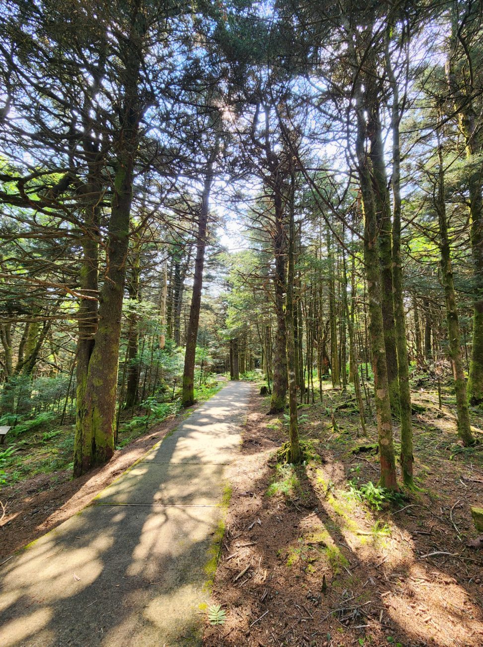
Almost anyone can do it. The path is paved, or otherwise made so that even those in a wheelchair could enjoy it if they choose to. (To the best of my knowledge.) There may be some slight hills, but nothing major.
The Rhododendron Gardens in Roan Mountain, TN and Sandstone Falls in West Virginia would be “easy”.
Fairly Easy, it means…
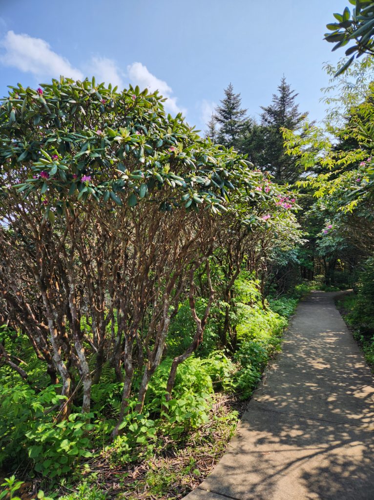
Almost anyone can do it, BUT the path is not paved. There may also be some tree roots, uneven ground, gravel, slight hills, or other things that might limit some people. The path is well maintained though, so most people shouldn’t have any trouble.
The Tom Gray Trail at Roan Mountain State Park in TN and Patriot’s Path at Sycamore Shoals State Park in TN, Alger and Scott Falls in MI, and Dry Falls in Franklin, NC would be “fairly easy”.
A Bit Rough, it means…
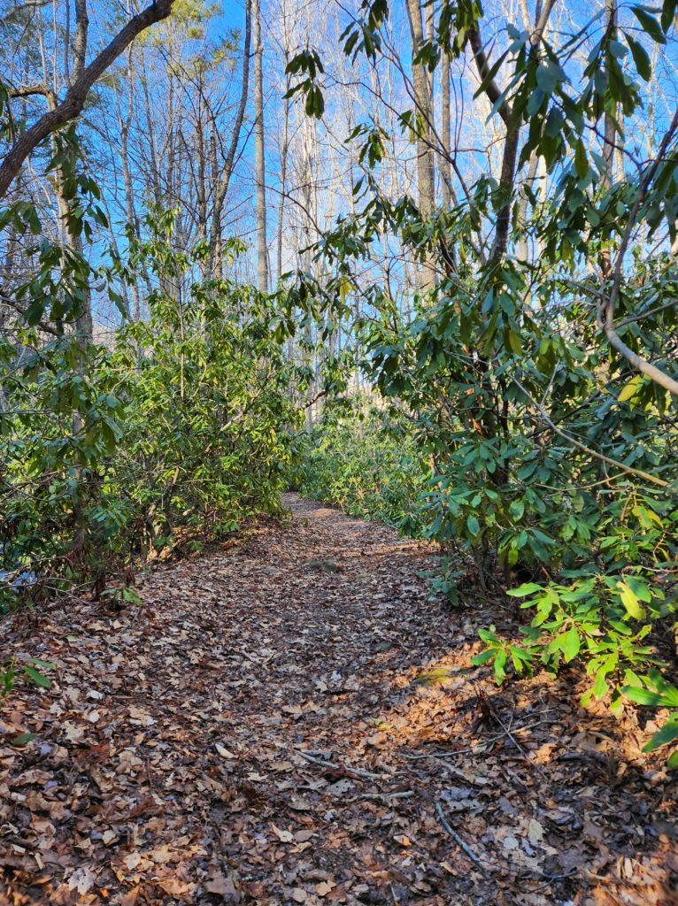
Most people who enjoy getting outdoors and hiking at all can do it, but it may take a little more effort. The path is still well maintained, but it may be more narrow, uneven, or have large steps along the way. And/or it is muddy, but short. There are more hills, so you might need to take a few picture breaks along the way.
Round Bald on Roan Mountain in TN/NC, and Hooker Falls in Hendersonville, NC would be “a bit rough”.
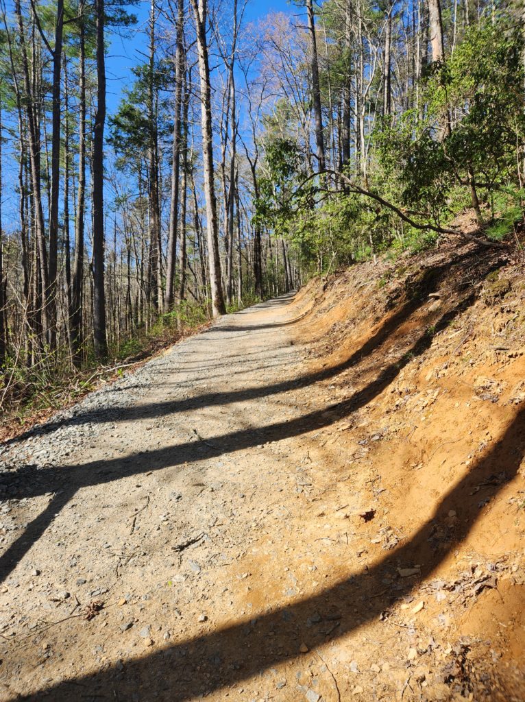
No Joke, it means…
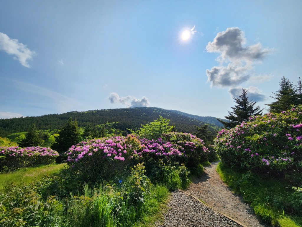
It’s definitely going to take more effort, and you will likely need to take several picture breaks along the way. Some of these trails are well maintained, and some of them can be a little sketchy in places. You may have to climb larger stairs, walk up and down steep inclines, etc. Note to self: Pace yourself and you’ll have no trouble.
Triple Falls in Hendersonville, NC, the stairs at Blue Hole Falls in TN, and Elk River Falls in NC would be “no joke”.
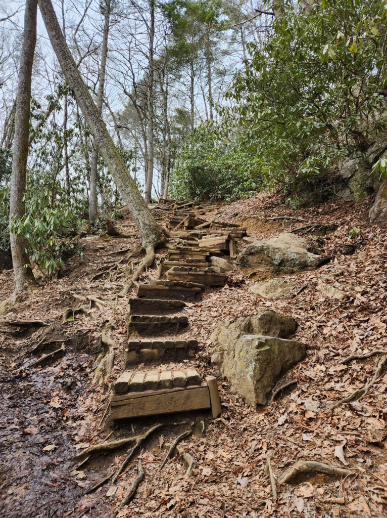
Hard, it means…
You’re going to be climbing over things, possibly walking through water, be going up and down a steep incline, there may not really be a trail in places, and you’ll need to take a lot of breaks…but it’s totally worth the effort if you can do it.
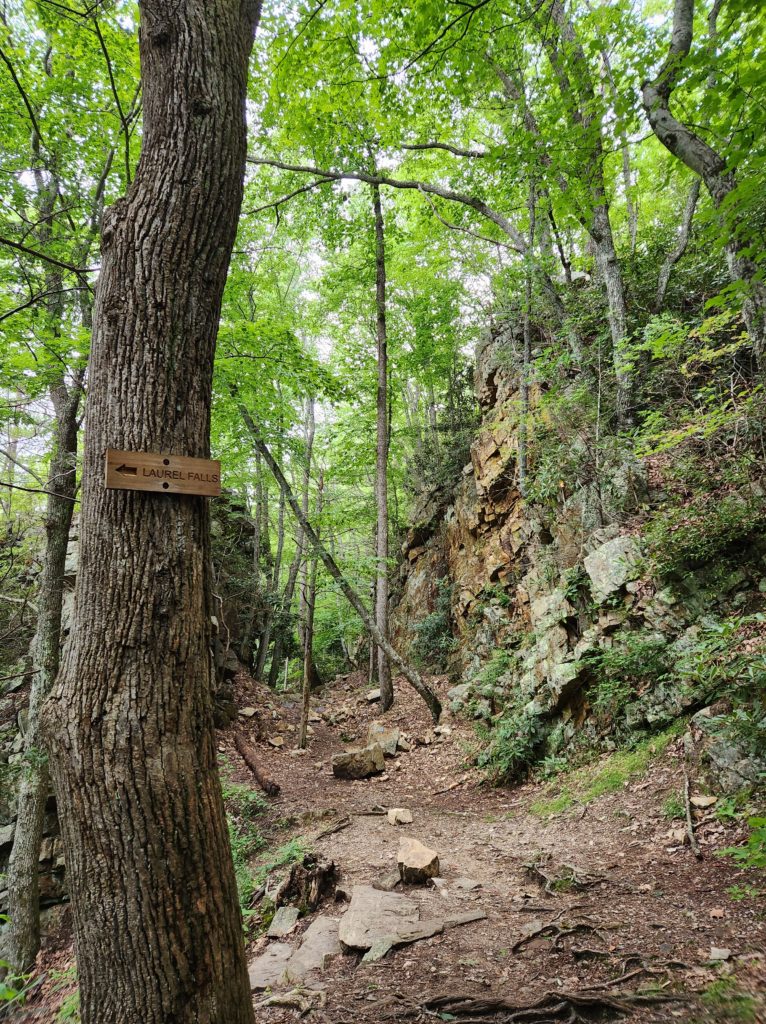
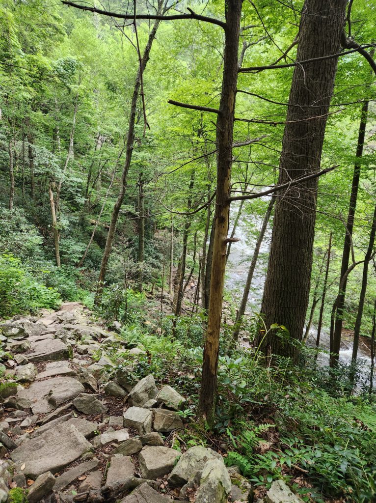
Laurel Falls in Hampton, TN is my definition of hard. There were fairly easy parts at the beginning, but most of it falls into the no joke territory, and the last downhill section to get to the falls is all rocks. There is a path that you can see, but it’s all rock and dirt steps that you have to carefully navigate down (and then back up).
My goal with this guide is definitely not to discourage you from going somewhere new, but rather to let you know what you might find when you get there.
Give yourself credit. I’ve let fear stop me from doing too many things that I could have done, maybe with a little extra effort, but done nonetheless. Please don’t let this guide discourage you from pushing yourself outside of your comfort zone.
But also…be smart about it. If there is somewhere that you’d like to go, that you genuinely don’t think you’re ready to tackle just yet…practice. Take time to develop the skills that you need to do the things that you want to do. My limit right now is about 3-4 miles round trip, but that’s expanding as I keep doing it.
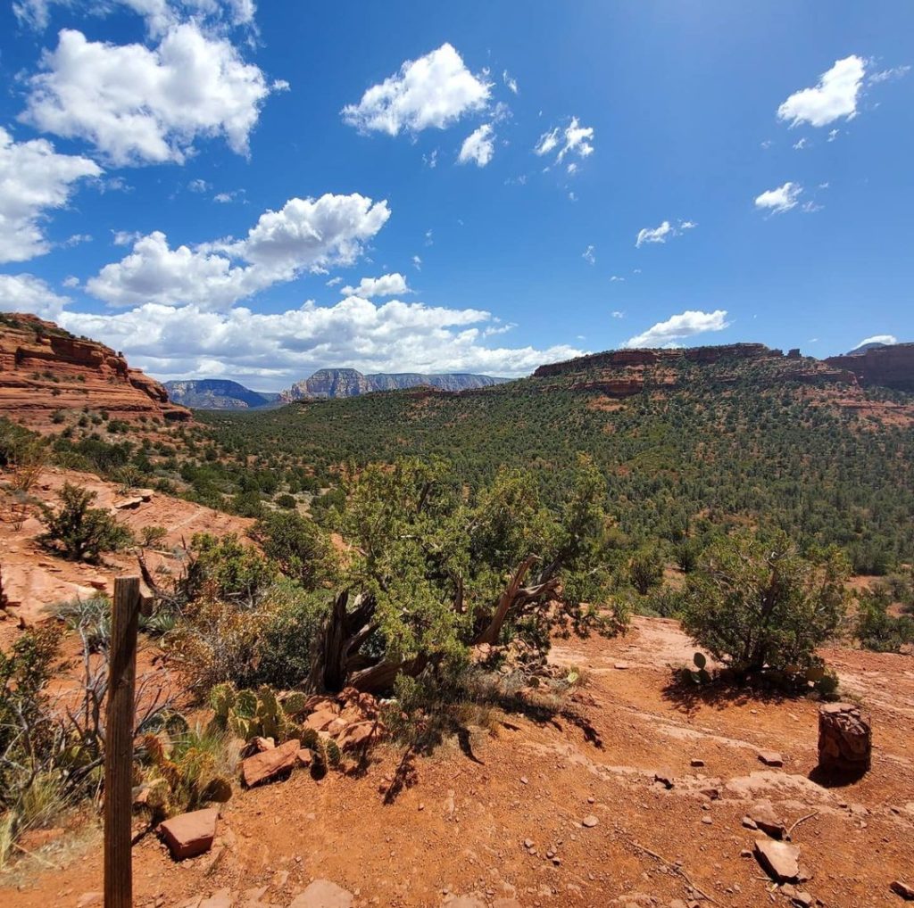
The first time I went out to Arizona, I was worried that I wouldn’t be able to hike to the places in the red rocks of Sedona that I wanted to. So, I started adding more hills and more steps to my workout routine, and daily life. By the time I got to Sedona, I still had to take my time, but I was able to do everything I wanted to do. I was able to see some of the most amazing views, and had a blast doing so.
And don’t beat yourself up if you can’t do what others can, or if you don’t want to. This is about you and what you would actually enjoy doing, not about what you try to force yourself to do to keep up with anyone else. Like I said before, no matter what fitness level you’re at, you deserve to get outside if you choose to. The magic of nature isn’t reserved for any one type of person, and the hardest of the hard trails aren’t the only places that you can find beautiful things. Beauty is all around us everyday if we choose to see it.
I use these terms in reference to myself, and my own fitness level. Everyone has to decide for themselves, where they are fitness wise, and what they feel up to doing on any particular day.
Being prepared is important. From doing things like taking plenty of water, snacks in a sealed baggie, and a trash bag for any trash you may have (be sure to take everything out with you that you take into wherever you are and dispose of things in a proper receptacle – including and especially food waste and doggie poop bags), to checking the weather to see what else you may need – raincoat, sunscreen, etc.
You can’t prepare for everything, but the more you can do so in advance, the more fun your adventure will be. So hopefully, when you’re looking for a place to go and enjoy the magic of nature, knowing my fitness levels and how I’ve rated the trails will give you a better idea of what you need to do to prepare to enjoy them to the fullest.
If you take nothing else from reading this, just keep in mind the best advice I’ve ever been given when it comes to hiking/walking trails: however far you walk on the trail, you have to walk the same distance to get back. When I originally heard this advice, I was walking with the friend, and they asked if I was getting tired. “A little, but not too bad”, I said. Their reply…”don’t forget that you have to walk all the way back too”.
